 Conn Home
 Examples
 Contact Us
 Links
Links Staff
Staff Work Order
 KR
KR File Sharing
Click on an image to zoom in
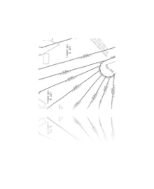
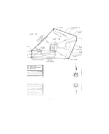
Subdivisions
We have designed and staked many subdivisions in and around Cullman County.
ALTA Survey
We use various field and offie software to create highly detailed maps. We can also provide our client's with the map in PDF format.
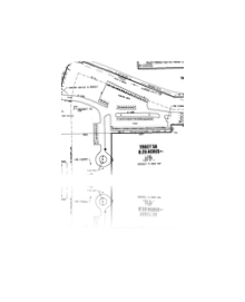
Boundary Survey's
Our Surveys are done in accordance with the Alabama Minimum technical standards.
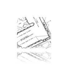
Topographical Survey's
Our field data collection systems allow our crews to locate break lines such as tops and toes in the field. We also provide our client's with the digital data when the survey is completed.
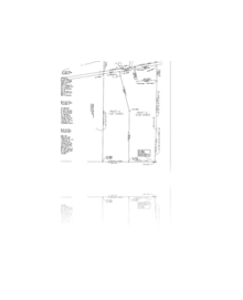
Loan Survey's
We provide fast turn around times and provide our clients with a cost effective solution. We can also email the drawing in PDF Format.
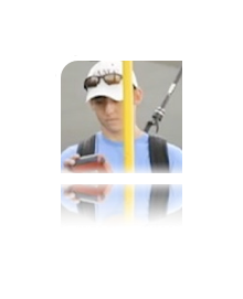
GPS Survey's
We utilize Trimble RTK GPS on projects that require presice positioning in a timely manner.

Construction Staking
WE use FIELDgenius Data Collection in the field which makes transfering office data to the field equpiment a breeze.
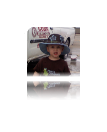
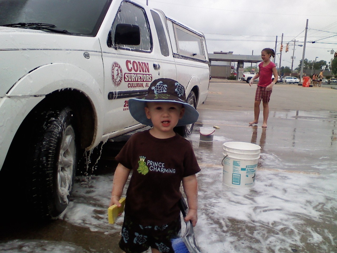
Grandson Washing
This is my Grandson, washing a work truck. I hope this didn't break any child labor laws!